Part 107 License
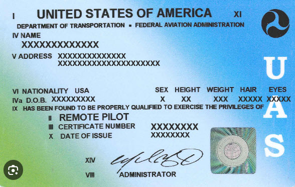
Part 107 is a set of regulations that govern the commercial use of small unmanned aircraft systems (sUAS), which are commonly known as drones. To operate a drone for commercial purposes, such as aerial photography, surveying, or inspection, you need to obtain a Remote Pilot Certificate under Part 107.
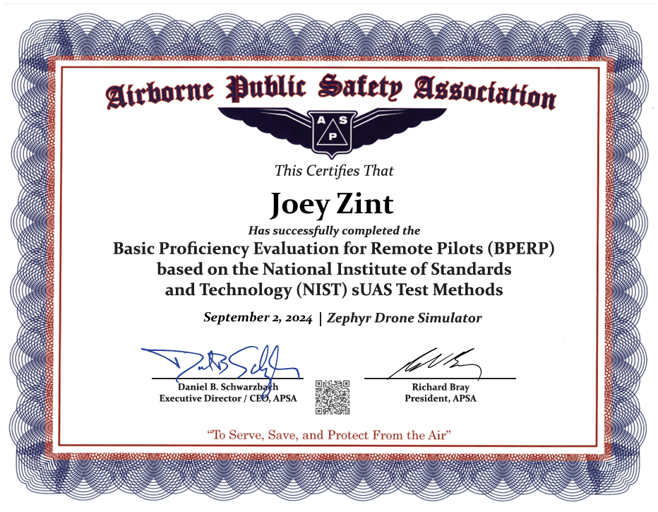
APSA Certification
The drone APSA certification, formally known as the “Aerial Photography and Surveying for Drones” certification, is a specialized credential offered by the American Professional Surveyors Association (APSA). This certification is designed for professionals involved in the use of drones for aerial surveying and photography.
Here are some key aspects of the certification
- Focus: It covers the use of drones for aerial data collection, including surveying, mapping, and other related tasks. It emphasizes the technical and practical skills needed to operate drones effectively in a surveying context.
- Content: The certification typically includes training on drone operation, data collection methods, legal and regulatory considerations, and how to process and analyze the data collected by drones.
- Audience: This certification is aimed at professionals in fields such as surveying, geospatial analysis, and related disciplines who want to enhance their skills and credentials in using drones for their work.
- Benefits: Gaining this certification can help professionals demonstrate their expertise in drone-based surveying and improve their career prospects in the growing field of drone technology and aerial data collection.

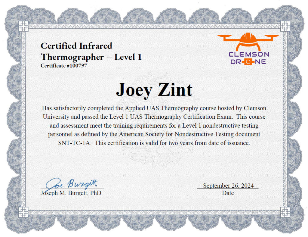
UAS Level 1 Thermography Certification
The UAS Level 1 Thermography Certification is a credential that focuses on the use of Unmanned Aerial Systems (UAS), commonly known as drones, for thermal imaging and infrared thermography applications. This certification is designed for professionals who want to specialize in using drones equipped with thermal cameras to conduct inspections, surveys, and analysis.
Here is a breakdown of what this certification typically involves:
- 1. Purpose:
- Thermal Imaging: It is intended for individuals who use drones to capture thermal imagery for applications such as building inspections, electrical inspections, search and rescue operations, and more.
- Skill Development: It provides training on how to effectively operate drones with thermal imaging equipment and interpret the data collected.
- 2. Training Content:
- Thermal Imaging Fundamentals: Understanding how thermal cameras work, how to read thermal images, and how to analyze thermal data.
- UAS Operations: Proper operation of drones, including flight planning, safety protocols, and regulatory compliance.
- Data Interpretation: Techniques for interpreting thermal images to detect issues such as heat loss, electrical faults, or other anomalies.
- 3. Certification Levels:
- Level 1: This level usually represents an entry-level certification, focusing on basic skills and knowledge. It’s often designed for those new to thermal imaging and drone operations.
- Advanced Levels: Higher levels of certification may be available for more advanced skills and applications.
- 4. Benefits:
- Professional Development: Enhances your expertise in a specialized field, making you more competitive in industries that use thermal imaging.
- Career Opportunities: Opens up opportunities in sectors such as building inspection, energy audits, infrastructure monitoring, and more.
- 5. Certification Bodies:
- Issuing Organizations: The certification may be offered by various professional organizations or educational institutions that specialize in drone operations and thermography. One well-known organization that offers such certifications is the Infrared Training Center (ITC), which provides training in infrared thermography for various applications.


